EagleHawk provides construction teams, developers, and project managers with accurate aerial data and visual tracking tools that simplify site evaluations, monitor progress, and help keep projects on schedule.
Whether planning a large-scale development or managing multiple active project sites, EagleHawk delivers the insights you need to build with confidence and precision.
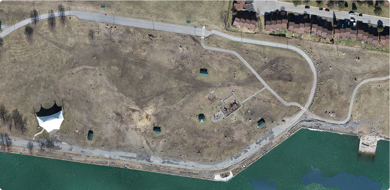
Assess ground conditions, elevation profiles, and site layout with high-resolution mapping before breaking ground.
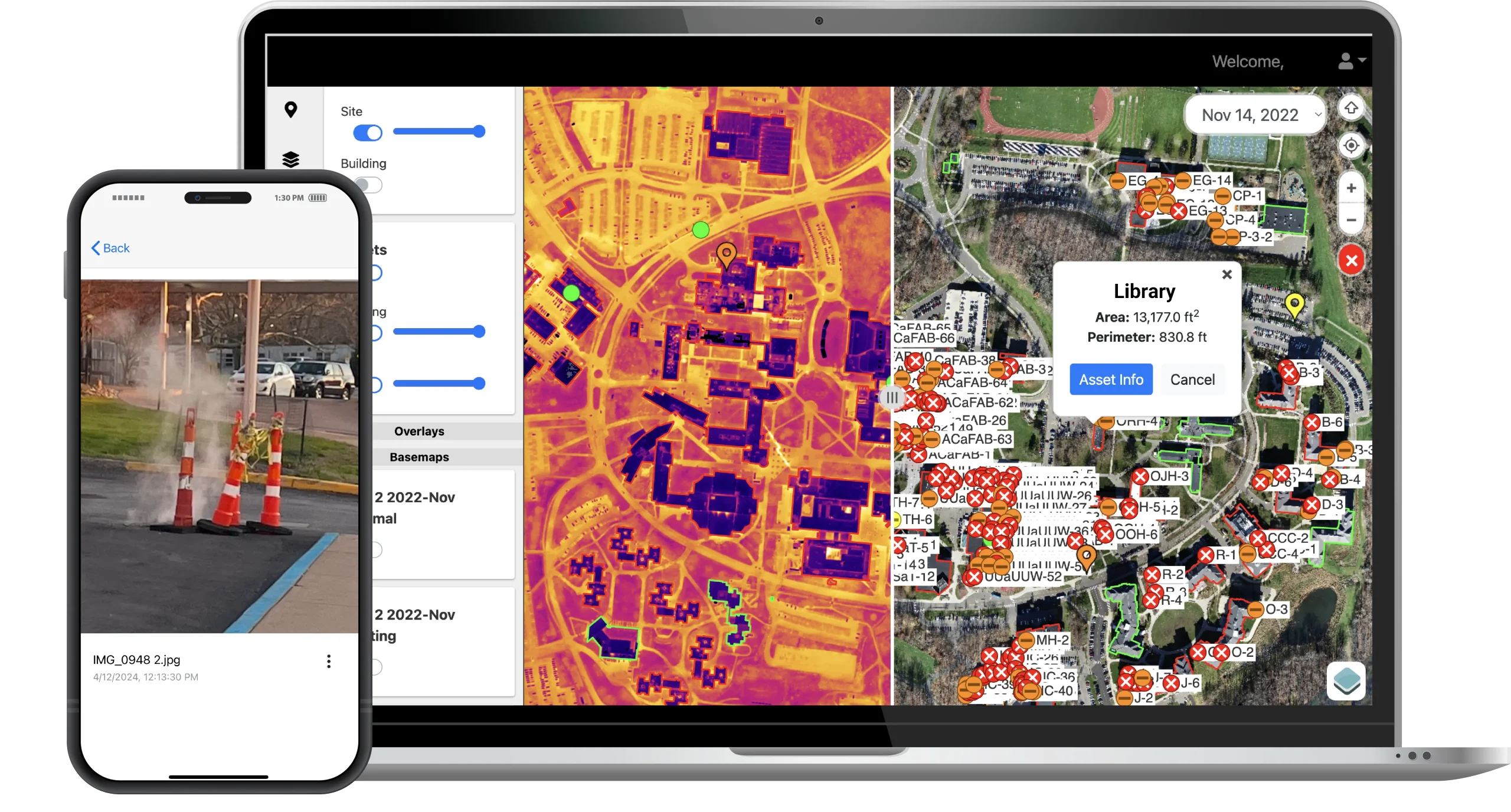
Capture and compare side-by-side imagery between two dates to monitor development, verify milestones, and keep stakeholders informed.
Overlay construction drawings onto updated site maps to ensure alignment with approved plans and flag discrepancies early.
Track and manage project development with high-fidelity 3D models that support better collaboration and progress reporting.
Centralize imagery, documentation, and real-time data in one digital platform—improving team coordination and accountability.
Map job sites, track progress, and verify plans with accurate visual data and 3D models. EagleHawk’s solutions help teams document every stage of a project, identify deviations early, and prevent costly rework, keeping construction projects on schedule and budget.
All of your construction site insights in one place:
Whether managing a single site or coordinating multiple developments, EagleHawk helps you build with clear visibility from start to finish.