

Mapping & GIS
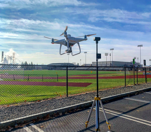
EagleHawk uses drones to collect data for 2D & 3D mapping and modeling/design projects. By employing data collection techniques that yield the highest resolutions and accuracy, EagleHawk can help save time and money on projects by utilizing collected geodata to generate actionable maps and detailed point clouds for further use in planning, survey, and design projects.
Companies who use EagleHawk will carry out more data collection projects in the same amount of time, and will do so having a more qualitative data set, making it possible to conduct better, more thorough planning and site analysis.
We are able to integrate with any of your current systems and deliver your data the way you need it | .OBJ .LAS .SHP .JPEG .TIF .DXF.

*Mapping data is for informational purposes. EagleHawk works with licensed and professional surveyors when the data needs to be certified.
Accurate geodata acquisition.

Enormously reduce the time and monetary investment in the site survey process.

Mapping
By precisely stitching hundreds of georeferenced images taken from a properly planned drone flight, we can quickly render accurate, beautiful and current map overlays at <2cm/pixel.

Targeting
Using drone data we can identify potential areas of vegetation health deficiencies.

Planning
Using data obtained from drones we can generate elevation contour data suitable for site survey, planning and development.
Use EagleHawk to deploy drones at your next project site:
3D point clouds
Digital elevation models
2D ortho-mosaic maps
Volume and area measurements
